Jharkhand
The Land of Sacred Groves
“Other places build temples and plant gardens around them. Jharkhand kept the grove and never needed the building.”
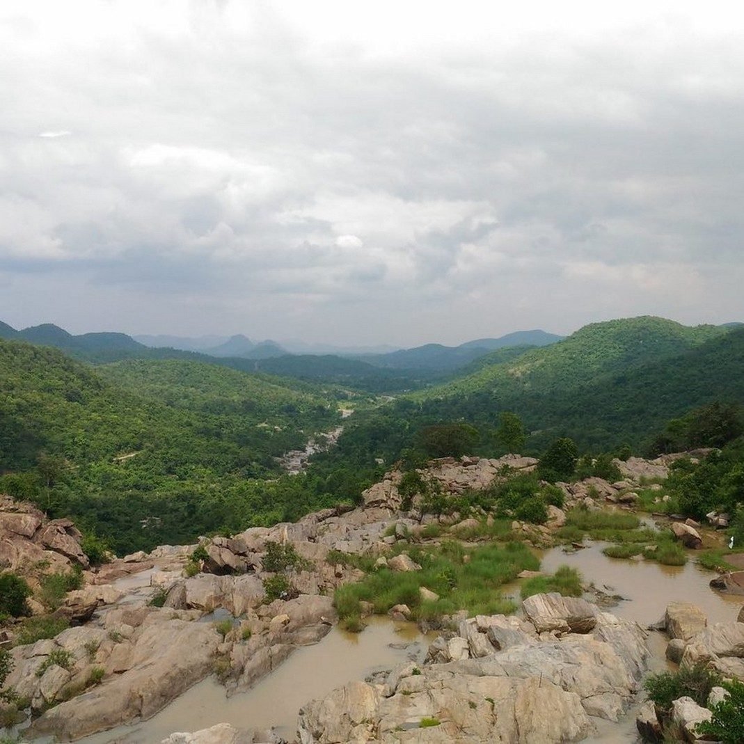
Photo: Ajay kumar / Wikimedia Commons (CC BY-SA 4.0)
The Name Is the Map
Jharkhand means, simply, 'the land of forests', and the name is the most accurate on the Indian map. Carved out of southern Bihar in 2000 after a century of Adivasi movements asking for it, the state is the Chotanagpur plateau made political: an upland of sal forest, red laterite soil, waterfalls at every edge where the tableland lets its rivers go, and beneath it all, geological bad luck, some of the richest coal, iron and mica deposits on Earth, which have made the state simultaneously India's mineral treasury and a cautionary tale about who pays for treasuries. It is also, and this is why I came, the heartland of India's Adivasi civilisations: Santhal, Munda, Oraon, Ho and two dozen more communities, over a quarter of the population, whose ways of holding land, faith and each other predate every empire that later claimed the plateau. My train climbed out of the Bihar plains through tunnels and sal, and a co-passenger, a young Munda engineer returning to Ranchi from a Bengaluru posting, watched me watching the forest and offered the state's orientation: 'People think we are a mining state with some tribes. Wrong order. We are a tribal civilisation with some mines. The mines came last and behave worst.'
We have thirty waterfalls. You have one Taj Mahal. Who is rich?From the chapter
The Plateau Lets Go
Ranchi sits on the plateau top at a cool two thousand feet (the hill station of the plains, the British called it) and its best introductions are at its rim, where the Subarnarekha river and its tributaries reach the edge of the tableland and simply step off. I spent two days doing the waterfall circuit by shared jeep and the last kilometres on foot: Dassam, wide and formal, a curtain wall of water; Jonha, reached down seven hundred steps, with a Buddhist shrine at its head because even here the region's older travellers left bookmarks; and Hundru, the giant, where the Subarnarekha, the name means 'streak of gold', and panners still wash flecks of the real thing from its sands downstream, falls nearly a hundred metres through a staircase of black rock. It was late monsoon; the falls were at full argument; and at
Hundru's viewing ledge a school group from Ranchi screamed happily into spray that reached us all fifty metres away. Their teacher, wringing out her dupatta beside me, corrected my geography for free: 'You people say Jharkhand has no famous places. We have thirty waterfalls. You have one Taj Mahal. Who is rich?'
The chapter continues in the book…
- AnticipationThe Name Is the Map
- ArrivalThe Plateau Lets Go
- ExplorationThe Grove, the Hill, the First Census of Tigers
- DiscoveryThe New Year of the Blossoming Sal
- The TableWhat the Forest Serves
- FarewellSunrise at the Edge
Jharkhand, from the road

Read Chapter 18 in full
The complete Jharkhand chapter — with when to go, getting around, what things cost, what to eat and how to travel responsibly — is in 28 Shades of India.